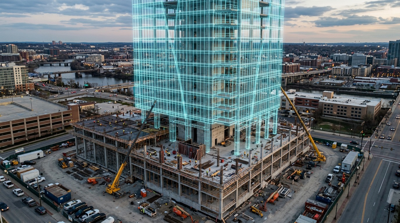
Comparing Drone Data with BIM and Design Models
How reality capture is checked against design to catch deviations early.
How it works
The provider captures the site, produces a georeferenced point cloud, mesh or surface, and aligns it with your design files (for example IFC, RVT, DWG or LandXML). Differences are shown as colour maps, sections or deviation reports.
What you need to supply
Current design or BIM files in a shared coordinate system, the tolerances that matter for your project, and the areas or elements to check. Agree how results will be delivered — for example into your BIM or project platform.
Getting reliable results
Design comparison usually needs measurement- or survey-grade accuracy. Ask how the provider controls accuracy, how they align data to the model, and for a sample deviation report from a similar project.
Ready to compare providers?
Describe your project once and get quotes from suitable construction drone providers.