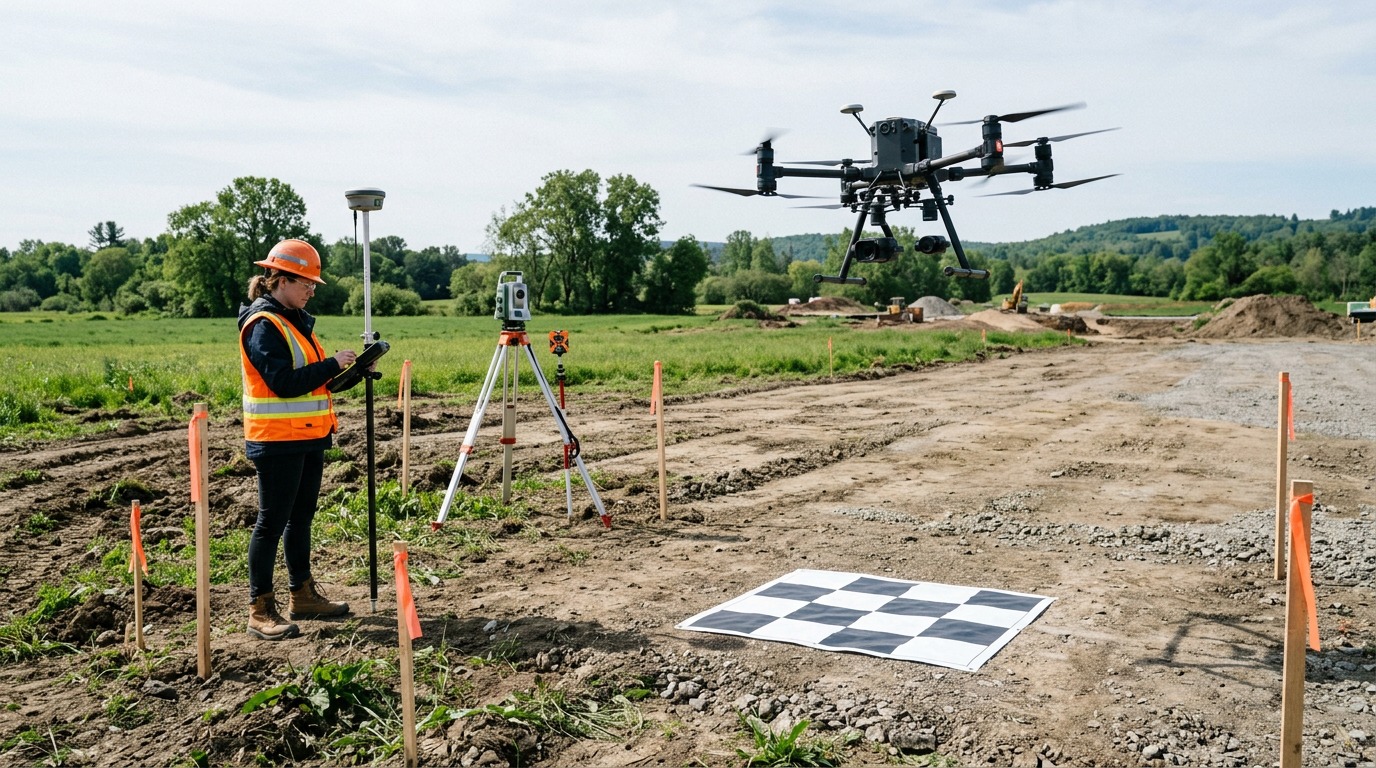
Drone Accuracy for Construction: Visual, RTK/PPK and Ground Control
What level of accuracy you actually need and how providers achieve it.
Visual only
Progress photos, video and general orthomosaics for communication and marketing do not usually need survey control. They are quicker and cheaper but should not be used for measurement.
Measurement-grade (RTK/PPK)
Drones with RTK or PPK GNSS correct their position during or after the flight, giving good relative and absolute accuracy for stockpiles, cut/fill tracking and many progress measurements.
Survey-grade with ground control
Where results feed design, quantities or legal records, providers add surveyed ground control and check points and report achieved accuracy. In some jurisdictions survey work must be signed off by a licensed surveyor — check local rules.
Ask for proof
Ask providers to state expected horizontal and vertical accuracy, how they verify it (check points) and to include an accuracy report with deliverables.